Check out these amazing hotel deals!
- Save up to 30% on your hotel in Hawaii!
- Last-minute holiday hotel deals
- Top hotel deals for a new year trip
- Visiting Paris? Find the Best Deals & Reviews at TripAdvisor.
- Save 30% on hotels in Ocean City, Maryland...a TripAdvisor Top 10 Summer Destination!
- Save up to 30% on your hotel on your Winter Vacation!
- Find top-rated hotels at the lowest prices on TripAdvisor. Check rates now!
- Save up to 30% on hotels for a romantic getaway!!
When it comes to world geography, there is always something that we don’t know. Whether it’s the size of a state or its geographical position, it doesn’t matter, a ranking is always useful. If there aren’t rankings and reviews, would you know which state has the most inhabitants between Canada and the United States of America? Or how large is Russia? To remove any doubt you may have, we’ve done the research and compiled a list of the 30 largest countries in the world.
| Country | Continent | Surface | Population |
| Mauritania | Africa | 1,030,700 sq. km | 3,205,060 |
| Bolivia | South America | 1,098,580 sq. km | 9,947,418 |
| Ethiopia | Africa | 1,127,127 sq. km | 88,013,491 |
| Colombia | South America | 1,138,910 sq. km | 47,790,000 |
| South Africa | Africa | 1,219,912 sq. km | 49,000,000 |
| Mali | Africa | 1,240,000 sq. km | 13,796,354 |
| Angola | Africa | 1,246,700 sq. km | 13,068,161 |
| Niger | Africa | 1,267,000 sq. km | 15,878,271 |
| Chad | Africa | 1,284,000 sq. km | 10,543,464 |
| Peru | South America | 1,285,220 sq. km | 29,907,003 |
| Mongolia | Asia | 1,565,000 sq. km | 3,086,918 |
| Iran | Asia | 1,648,000 sq. km | 76,923,300 |
| Libya | Africa | 1,759,540 sq. km | 6,461,454 |
| Sudan | Africa | 1,861,484 sq. km | 35,000,000 |
| Indonesia | Asia | 1,919,440 sq. km | 242.968.342 |
| Saudi Arabia | Asia | 1,960,582 sq. km | 25,731,776 |
| Mexico | North America | 1,972,550 sq. km | 112,468,855 |
| Greenland | Europe | 2,166,086 sq. km | 56,375 |
| Democratic Republic of Congo | Africa | 2,345,410 sq. km | 70,916,439 |
| Algeria | Africa | 2,381,740 sq. km | 34,586,184 |
| Kazakhstan | Asia | 2,717,300 sq. km | 15,340,000 |
| Argentina | South America | 2,766,890 sq. km | 41,343,201 |
| India | Asia | 3,287,590 sq. km | 1,173,108,018 |
| Australia | Oceania | 7,686,850 sq. km | 21,515,754 |
| Brazil | South America | 8,511,965 sq. km | 201,103,330 |
| China | Asia | 9,596,960 sq. km | 1,330,044,000 |
| United States of America | North America | 9,629,091 sq. km | 310,232,863 |
| Canada | North America | 9,984,670 sq. km | 33,679,000 |
| Antarctica | Antarctica | 14,000,000 sq. km | 0 |
| Russia | Eurasia | 17,100,000 sq. km | 140,702,000 |
5. China, Asia
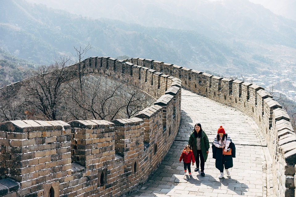
The People’s Republic of China, more commonly known as China, is the most populous country in the world.
Located in the eastern part of Asia, this country is made up of 22 provinces, 5 autonomous regions, 4 municipalities, and 2 special administrative regions, all wholly or partially controlled by the government based in Beijing.
China is home to some of the most beautiful natural landscapes in the world, such as the Gobi Desert, the Himalayas, the Yangtze River, and many more.
Inhabited since the Bronze Age, it was dominated by dynasties until 1911, when a slow and profound crisis led China towards a complete reform of the government system. Today, China is a country full of contradictions: on one hand, it’s still highly traditional while on the other is ready to become one of the new economic powers in the world.
Capital: Beijing (Peking)
Surface: 8,511,965 sq km
% of water in the territory: 2.8%
Population: 1,330,044,000 inhabitants
Population density: 143.7 inhab./sq km
Population growth rate: 0.481%
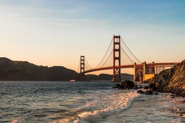
4. United States of America, America

The United States of America is undoubtedly one of the largest and most populated states in the world. The countries that make up the USA occupy the northern belt of America, in a territory between Canada and Mexico, as well as Alaska, north of Canada, and the Hawaiian Islands.
While the coastal areas, such as California or Florida, are heavily inhabited, the inland areas have a smaller population and it’s often possible to come across deserts, such as Sonoran or Death Valley.
Bathed by two different oceans (the Pacific to the west and the Atlantic to the east), the state is located completely in the Northern hemisphere and has a continental climate, characterized by high humidity peaks, especially in the southern areas.
Capital: Washington
Surface: 9,372,614 sq km
% of water in the territory: 6.76%
Population: 323,127,513
Population density: 34 inhab./sq km
Population growth rate: 0.81%
3. Canada, America
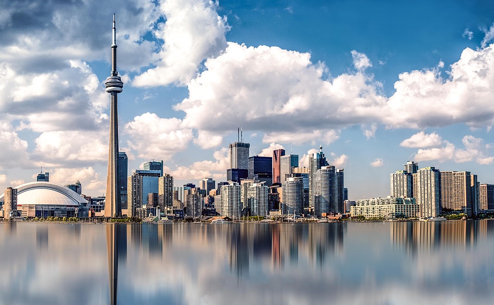
Canada is located in the north of the United States of America and borders the two oceans, the Arctic Ocean, and Alaska. Made up of 10 provinces and 3 different territories, it has the largest border in the world: the one that divides Canada
from the United States of America, with a length of 8,893 km.
From a governmental point of view, Canada is a federal parliamentary monarchy, headed by Queen Elizabeth of England, head of the Commonwealth. Its population has two official languages, English and French, which are mainly spoken by the inhabitants of the east coast.
The surface of Canada is particularly rich in vegetation due to the strong presence of water sources. There you can find the Great Bear Lake and the Great Slave Lake, in the north-western area. In the province of Alberta, there is Lake Athabasca, while in the province of Manitoba, there are Lake Winnipeg and Manitoba.
Capital: Ottawa
Area: 9.984.670
% of water in the territory: 8.92%
Population: 33,679,000
Population density: 3.92 inhabitants / sq km
Population growth rate: 0.73%
2. Antarctica
Located in the southern hemisphere, Antarctica is one of the two terrestrial poles, as opposed to the Arctic. This country is 98% covered by ice with an average thickness of 1,600 meters which makes it the coldest and most inhospitable continent on Earth.
Discovered in 1820 after a Russian expedition led by Lazarev and Bellingshausen, its existence was officially recognized with the name “Antarctica” in 1890, thanks to the Scottish cartographer John George Bartholomew.
Capital: /
Area: 14,000,000
% of water in the territory: /
Population: /
Population density: 0.00007 inhab./sq km
Population growth rate: /
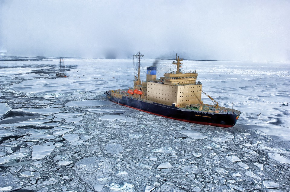
1. Russia, Europe
Russia is the largest state in the world with a surface covering about 1/8 of the Earth’s soil. Located between Eastern Europe and North Asia, Russia is so large that it includes 11 different time zones, while its capital, Moscow, is one of the largest cities in the world.
In Russia, there is a considerable variety of landscapes. Most of the territory is characterized by the steppe in the southern zone and a strong presence of wooded areas with tundra in the northern one. In addition to several mountain ranges, such as the Caucasus and the Altai, the Russian Federation also possesses a significant amount of plains, which allow it to have 10% of the world’s arable land.
This state also has thousands of rivers and some of the most famous lakes in the world, such as Lake Baikal, the deepest in the world, as well as Ladoga and Onega.
Capital: Moscow
Area: 17.100.000 sq. Km
% of water in the territory: 13%
Population: 140,702,000
Population density: 8.4 inhab./sq km
Population growth rate: -0.06%
Check out these amazing hotel deals!
- Save up to 30% on your hotel in Hawaii!
- Last-minute holiday hotel deals
- Top hotel deals for a new year trip
- Visiting Paris? Find the Best Deals & Reviews at TripAdvisor.
- Save 30% on hotels in Ocean City, Maryland...a TripAdvisor Top 10 Summer Destination!
- Save up to 30% on your hotel on your Winter Vacation!
- Find top-rated hotels at the lowest prices on TripAdvisor. Check rates now!
- Save up to 30% on hotels for a romantic getaway!!